Services
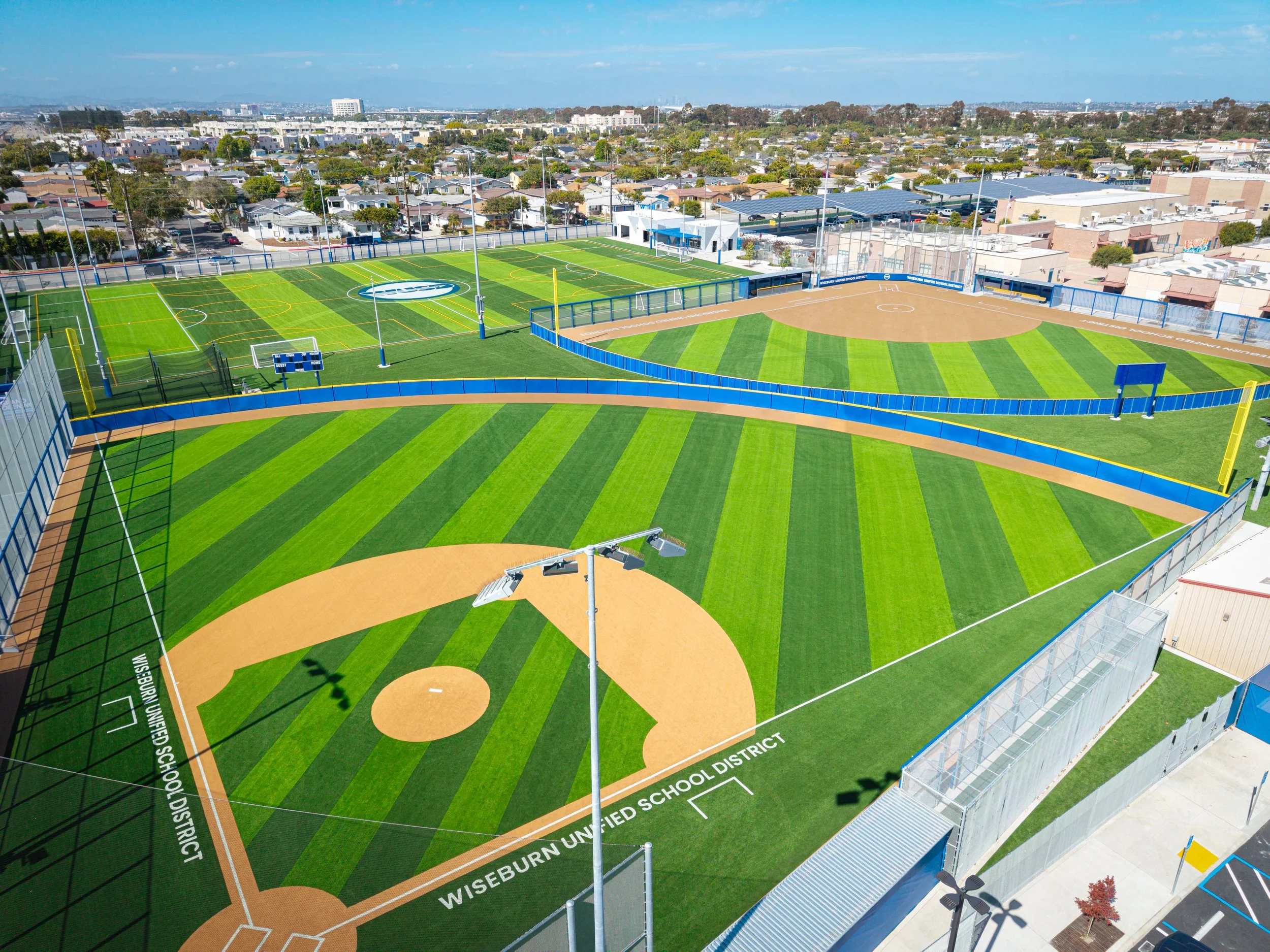
Aervix delivers high-resolution aerial mapping, imaging, and site documentation for construction, real estate, land management, and inspection needs. Using precise flight planning and high-quality imaging, we provide accurate, reliable data that helps clients understand their sites, monitor progress, and make informed decisions.
Core Services
Orthomosaic Mapping – Seamless, high-detail aerial maps for measurements, documentation, and project records.
Construction Mapping & Modeling – Up-to-date visual site maps that support planning, logistics, and project transparency.
Progress Monitoring – Regular aerial updates that clearly show changes over time for weekly or monthly reporting.
Aerial Inspections – Detailed imagery of roofs, structures, and hard-to-reach areas without physical risk.
Imaging & Media Capture – Professional aerial photos and video for real estate marketing, documentation, and portfolio use.
Our Commitment
Aervix provides clear, dependable, and visually precise aerial data—giving clients a new perspective and the insights needed to make confident decisions.